Plymouth Hollow near Reynolds Bridge-1874
Plymouth Woolen Mills, Plymouth Hollow – 1874
1874 maps of Plymouth Center and Terryville
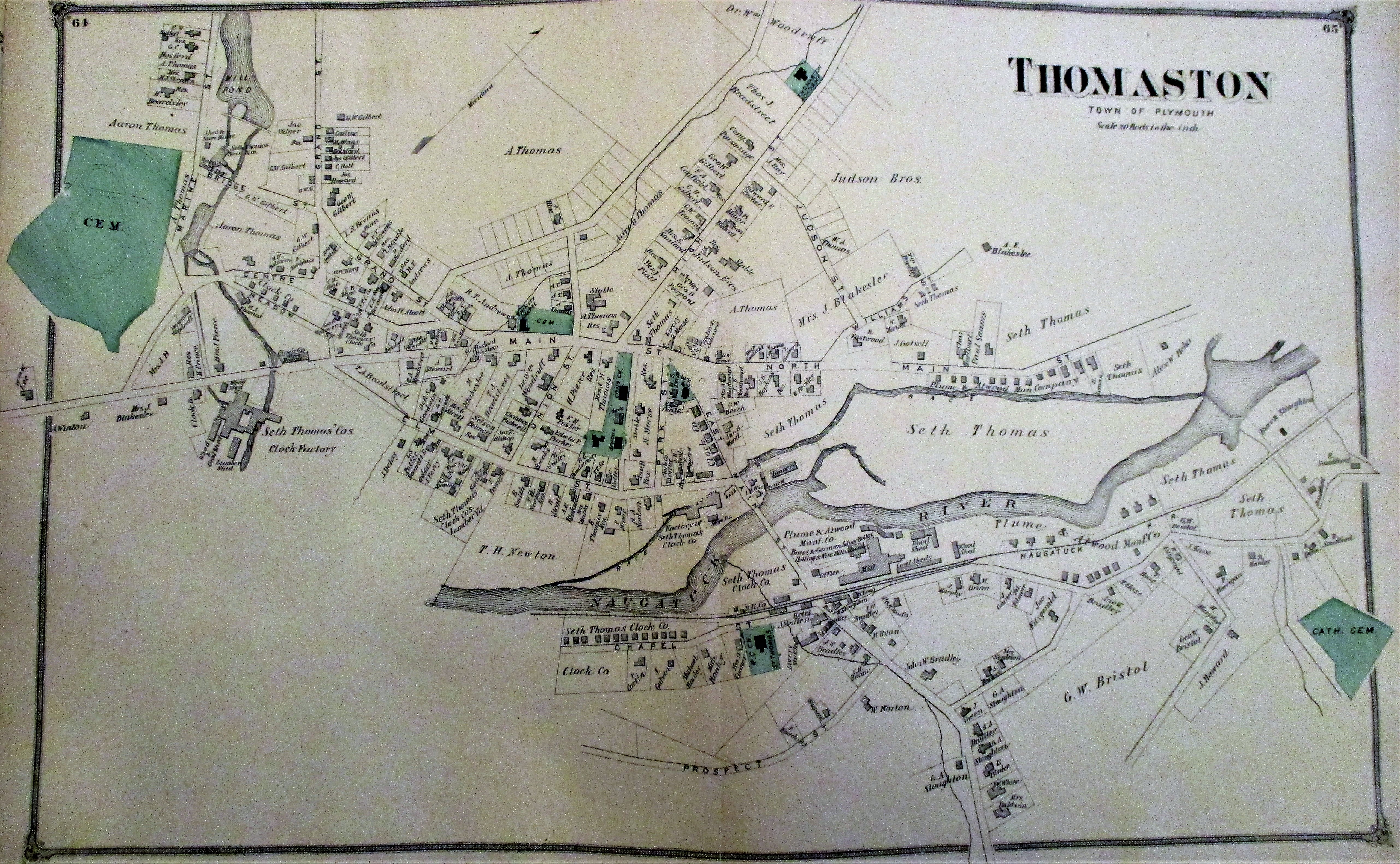
1874 map of Town of Plymouth (including Thomaston)
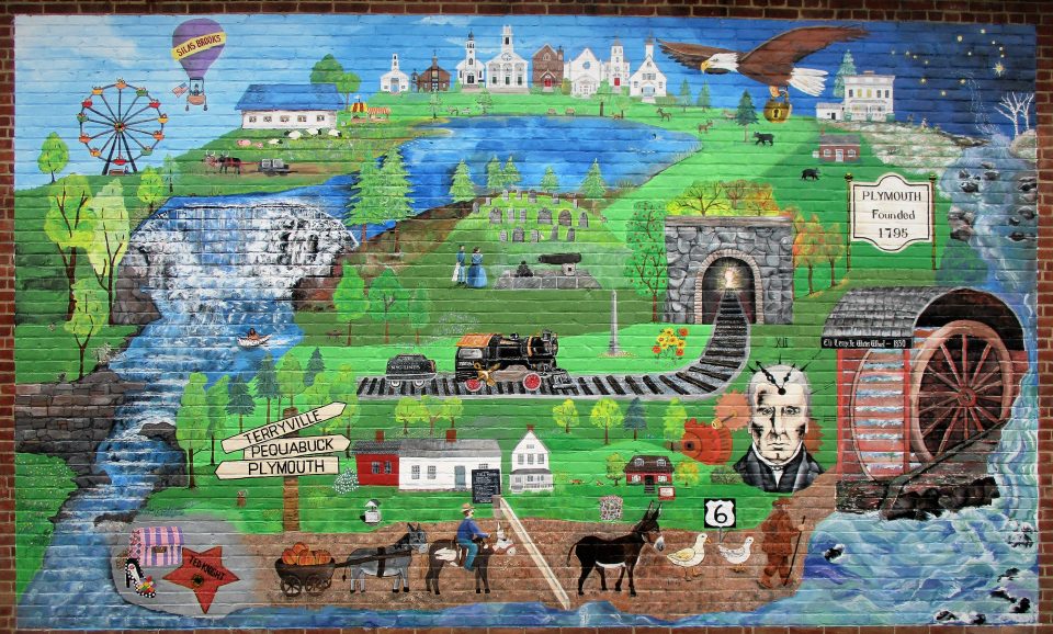
In April 2020, Tom Vaughn and Doug Moylan compiled a list of where the names of all the streets in the Town of Plymouth originated. Find your street! Fascinating insights to our town’s history!
